
About Land4
Landscaping add-on lifting terrain modelling in ARCHICAD to new, dynamic levels.
With LAND4 for ARCHICAD, landscape architects, engineers and other professionals working with terrain and urban spaces can work smarter and faster throughout all phases of their workflow – right from the import of surveyor data to the final project presentations.
Fast, flexible and precise terrain modelling.
LAND4 offers a new approach to landscaping in ARCHICAD.
Users gain enhanced and accurate control of their terrain model and can save a lot of time with powerful tools like dynamic, interconnected terrain objects (Spot Levels, Fall Lines, Contour Lines, and LANDSurfaces), flexible Category functionality and automated volumetrics calculations.
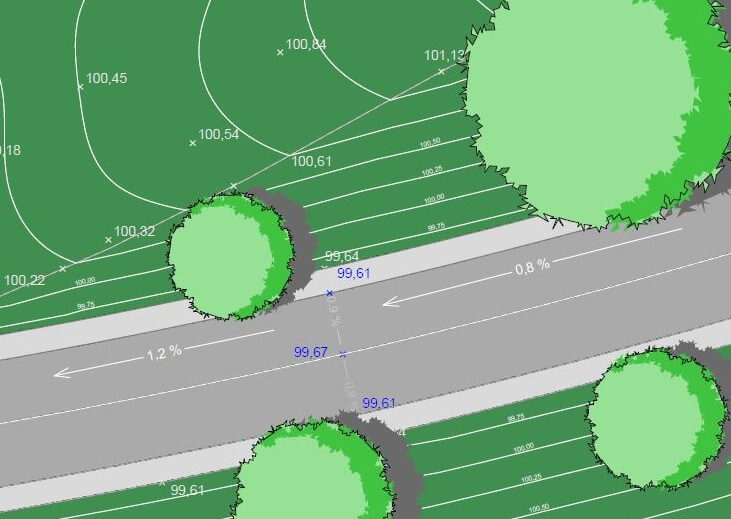
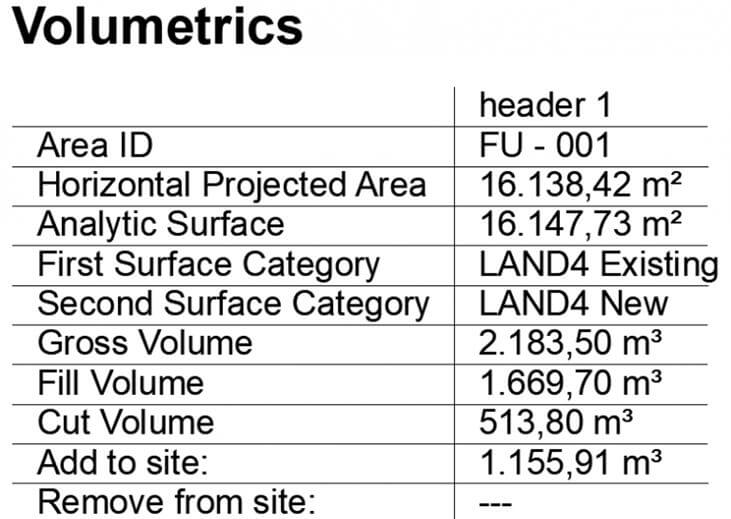
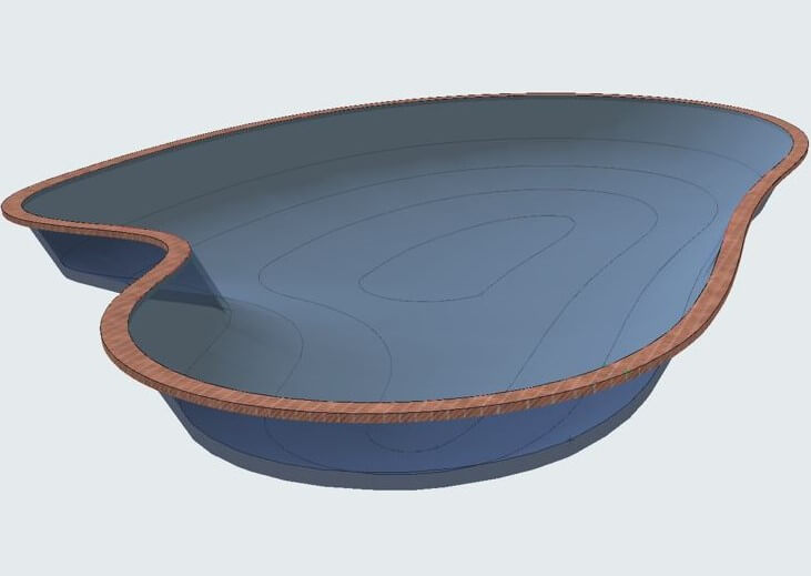
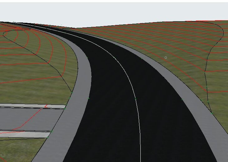
NEW
LAND4 Composites
The development of LAND4 is an ongoing process.
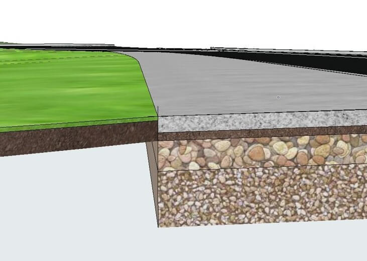
LAND4 Composites is an exciting new feature recently added. It makes it possible to assign different building materials constituting a Composite to a terrain surface.
For further information:
Flexible licensing – increased value
LAND4 licenses are subscription-based, floating network licenses hosted on a cloud-based license server. Co-workers can share licenses, and companies can adjust their license pool to match requirements at any given time.
A Customer Portal offers access to the online license server. Here, the customer can view the current server status, number of active users, and log files and thus make informed decisions based on actual user data.
Extended Tutorials
Selection of videos showing LAND4 in action. For more extended LAND4 tutorials, go to:
Click for more tutorialsConstruction of Parking Lot
Construction of Curved Ramp
Adapting Terrain to Existing Building with Ramp
Creating Roof on Round Building
Basic operations
Selection of videos on some of the fundamental operations in LAND4 for use with ARCHICAD.
Spot Level Configuration
LANDSurface Configuration
Create Mesh from LANDSurface
Create Volumetrics Surface
LAND4 Knowledge Base
Visit our LAND4 Knowledgebase to see the full range of videos and articles guiding users through basic LAND4 operations – from installation and import of data to the automated calculation and creation of Volumetric Surfaces.
Further information
For further information, please contact us at support@land4cad.com.